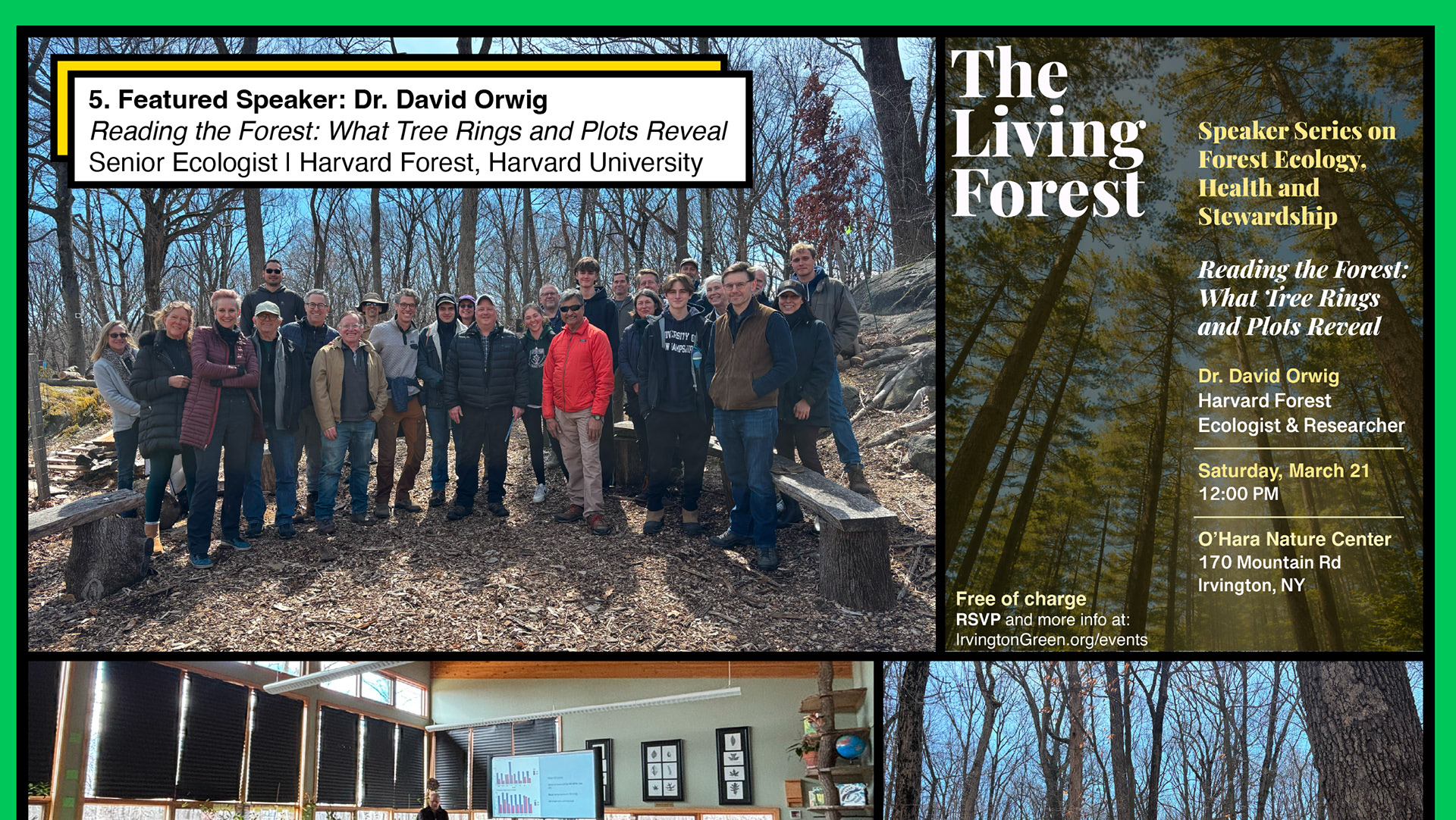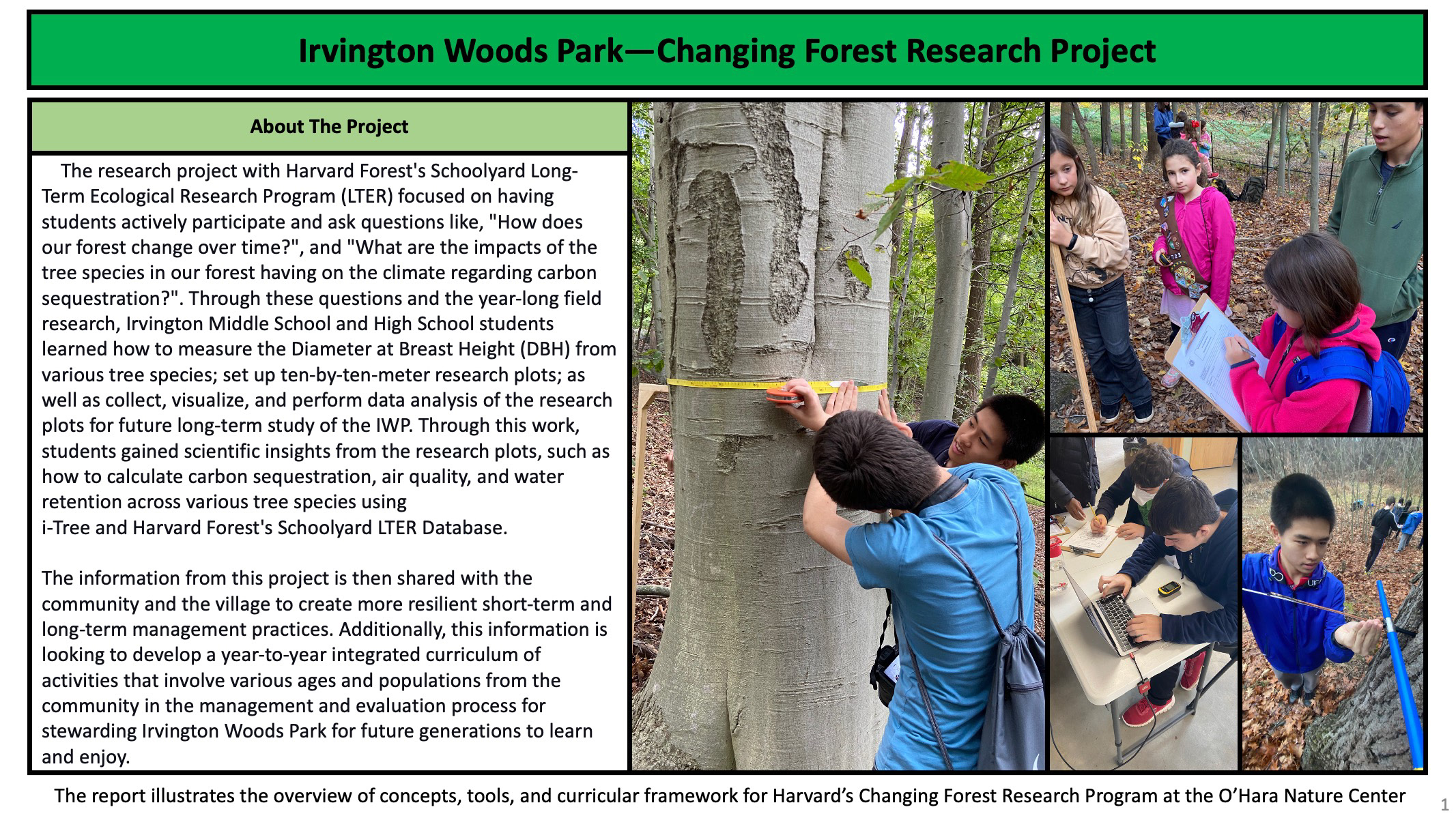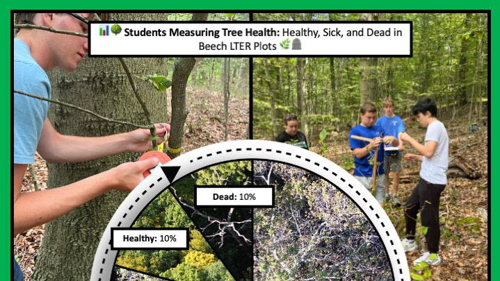

How is Irvington Woods changing—and what can that tell us about how to care for it in the future?
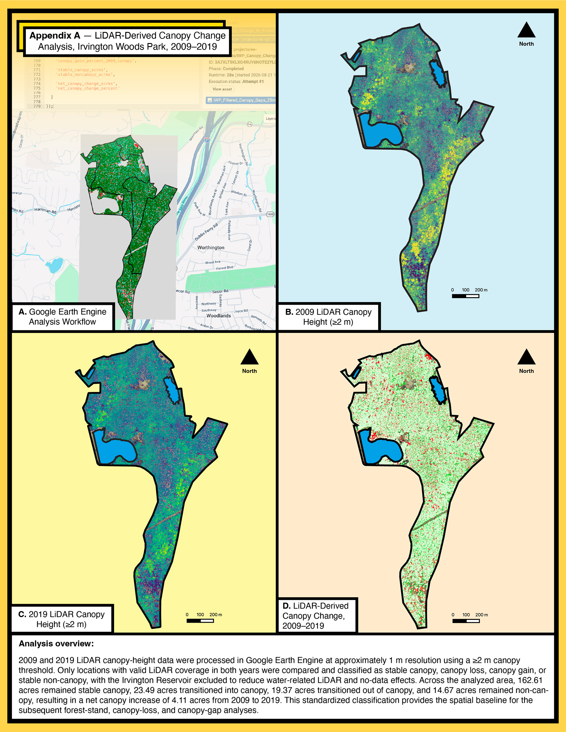
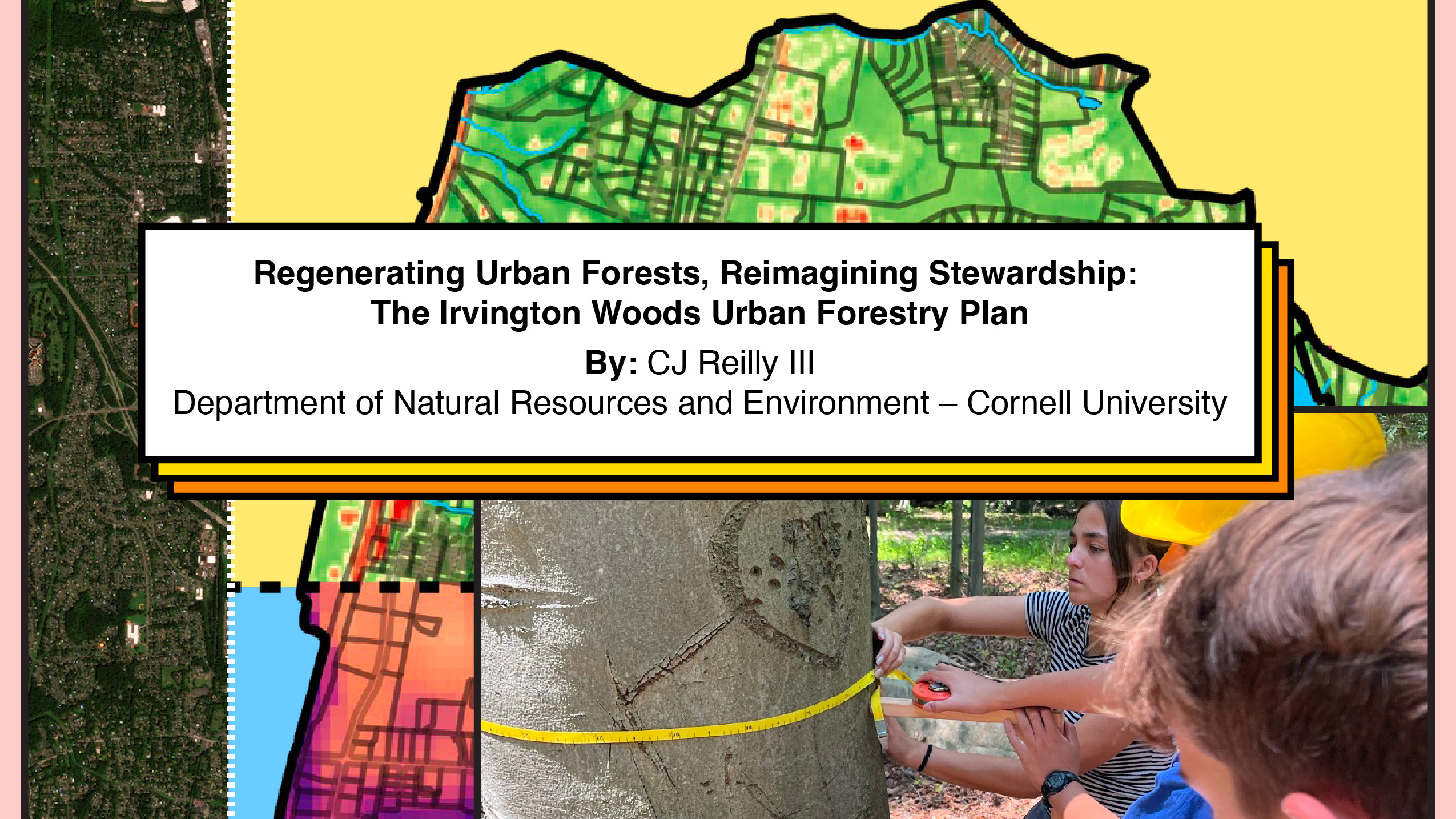
Irvington Woods Park is one of the Village of Irvington's most significant natural resources, encompassing more than 200 acres of forest, wetlands, streams, and reservoir lands. To better understand how its forest canopy has changed over time, I developed a geospatial analysis comparing high-resolution LiDAR data collected in 2009 and 2019.
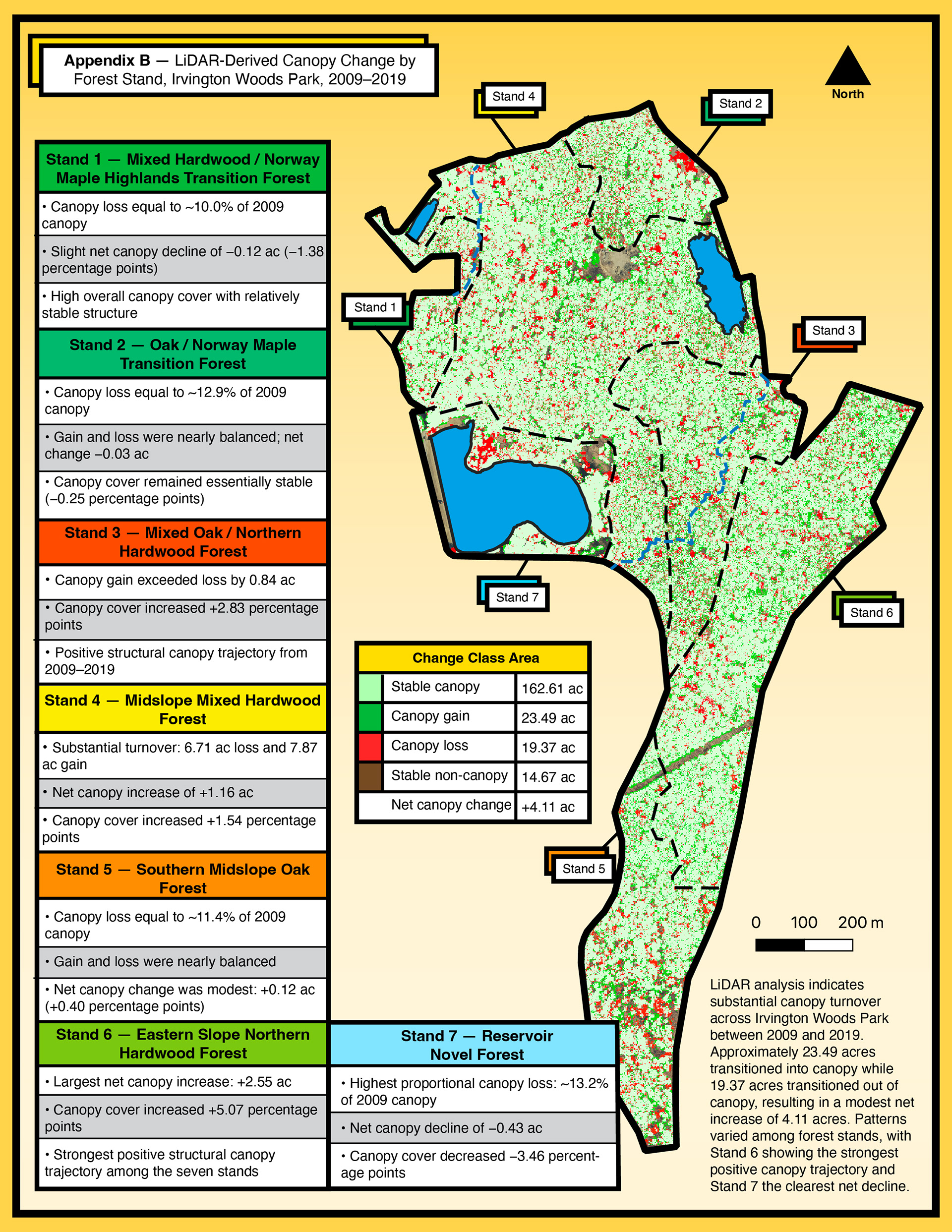
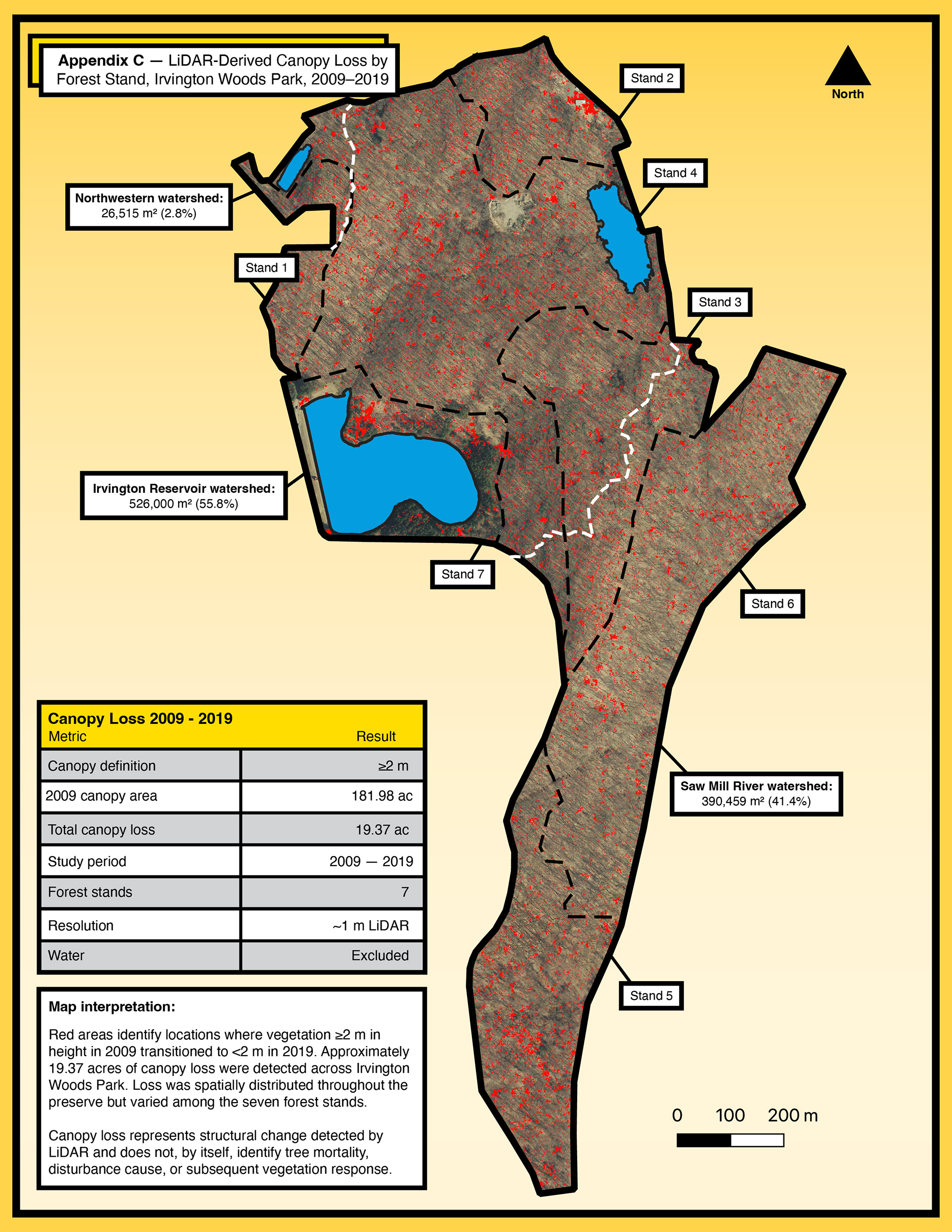
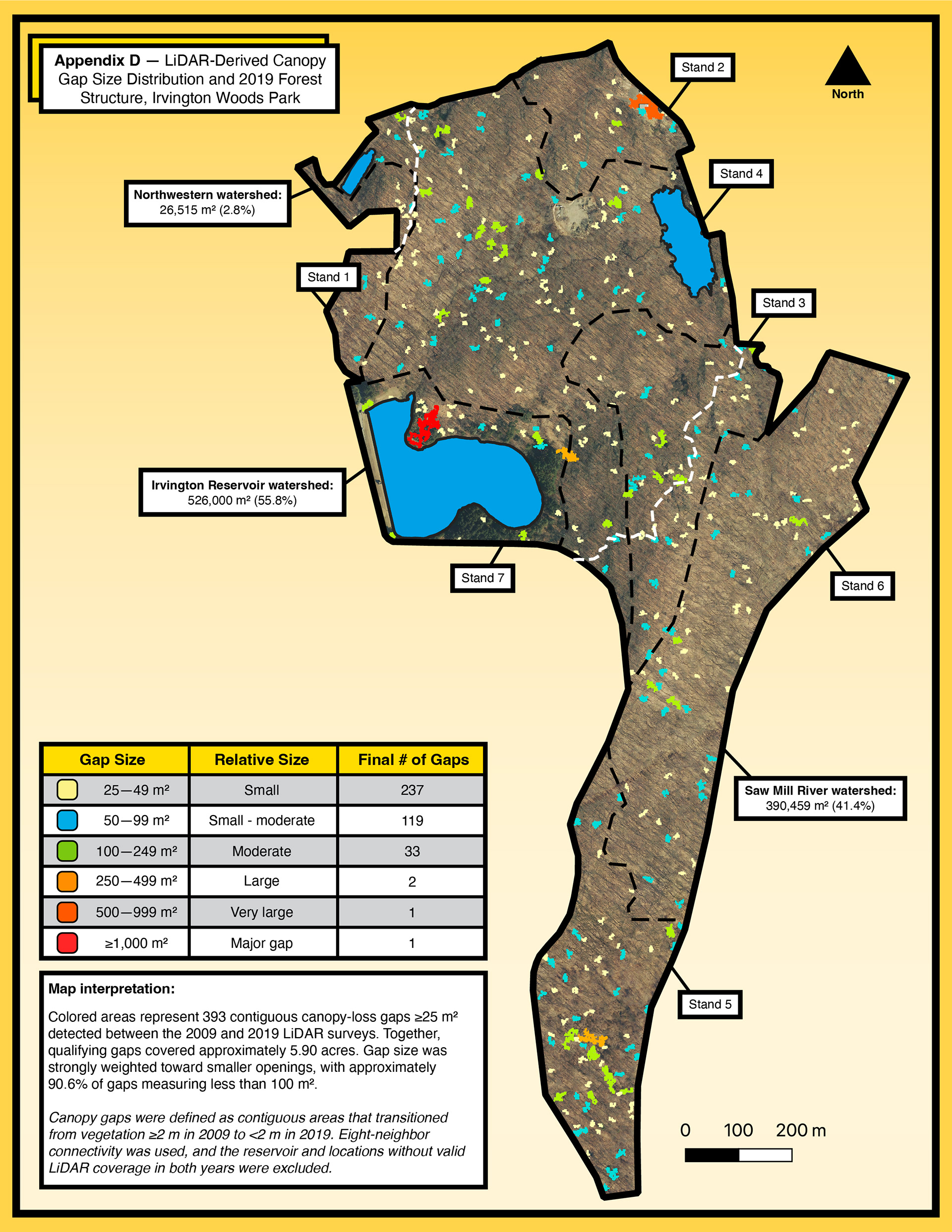
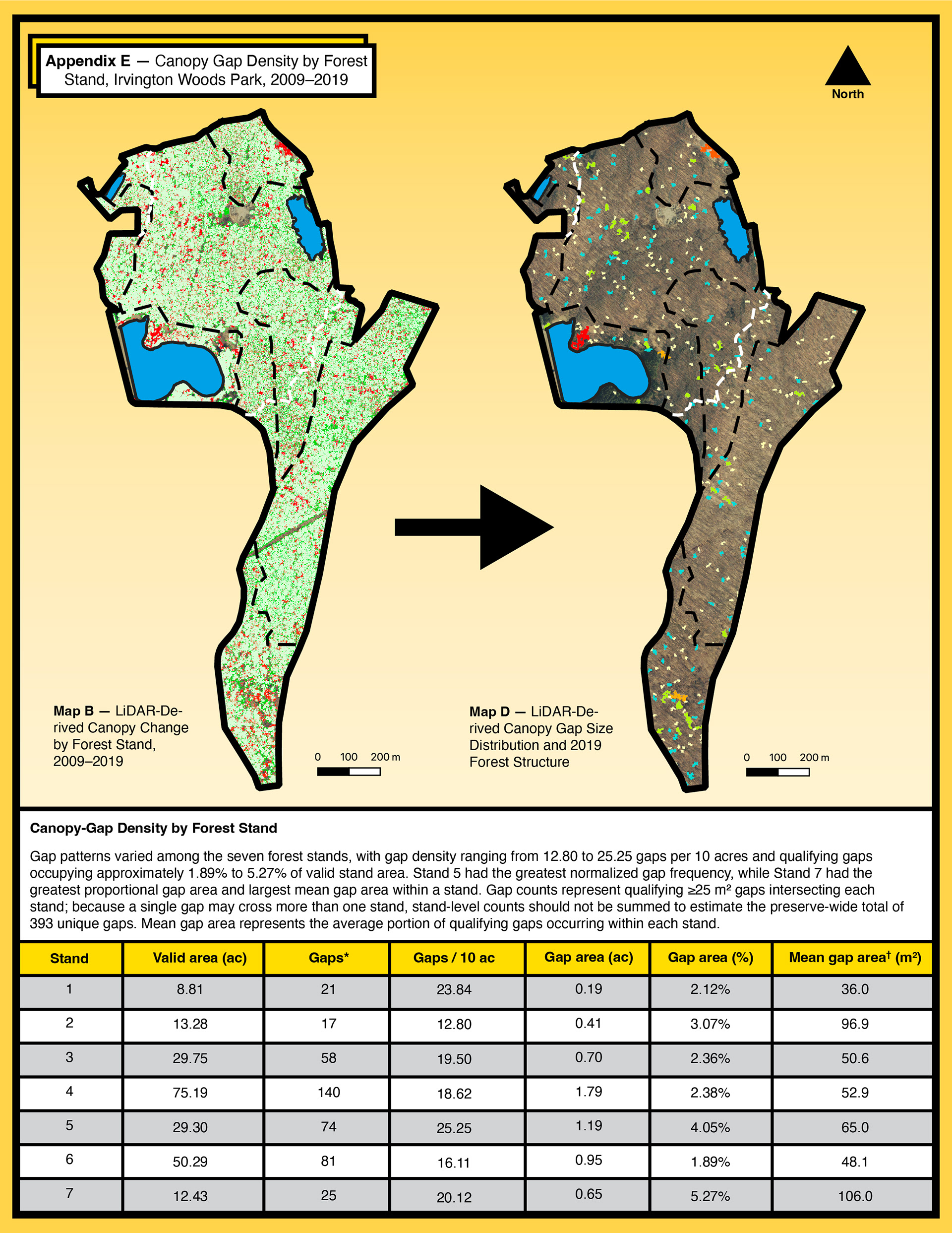
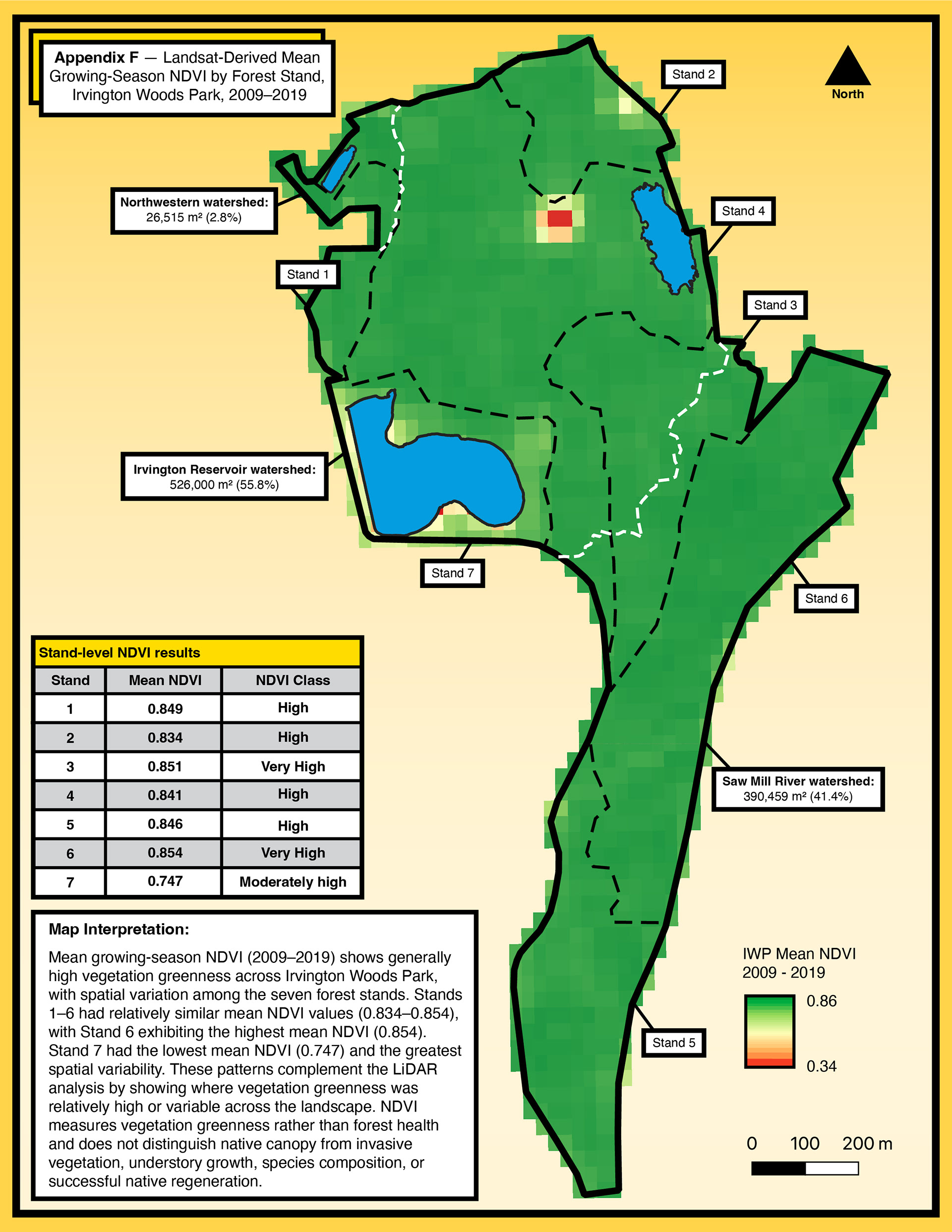
Using Google Earth Engine and GIS, I mapped where canopy remained stable, where it was gained or lost, and where canopy loss formed larger contiguous openings. I then compared these patterns across seven forest stands and incorporated Landsat NDVI to examine how changes in forest structure relate to broader patterns in vegetation greenness.
The goal was not simply to map change, but to create a long-term ecological baseline that can inform forest management, restoration, monitoring, and education in Irvington Woods.
The full report can be seen here: